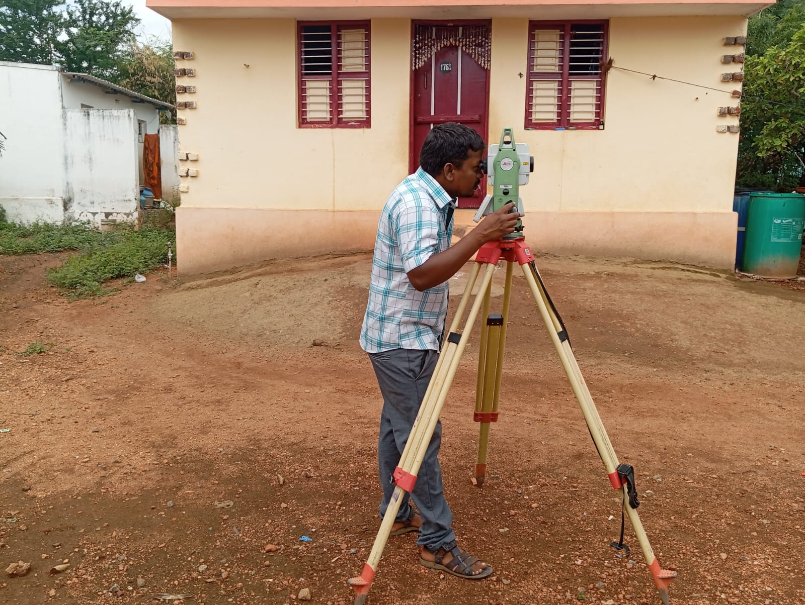
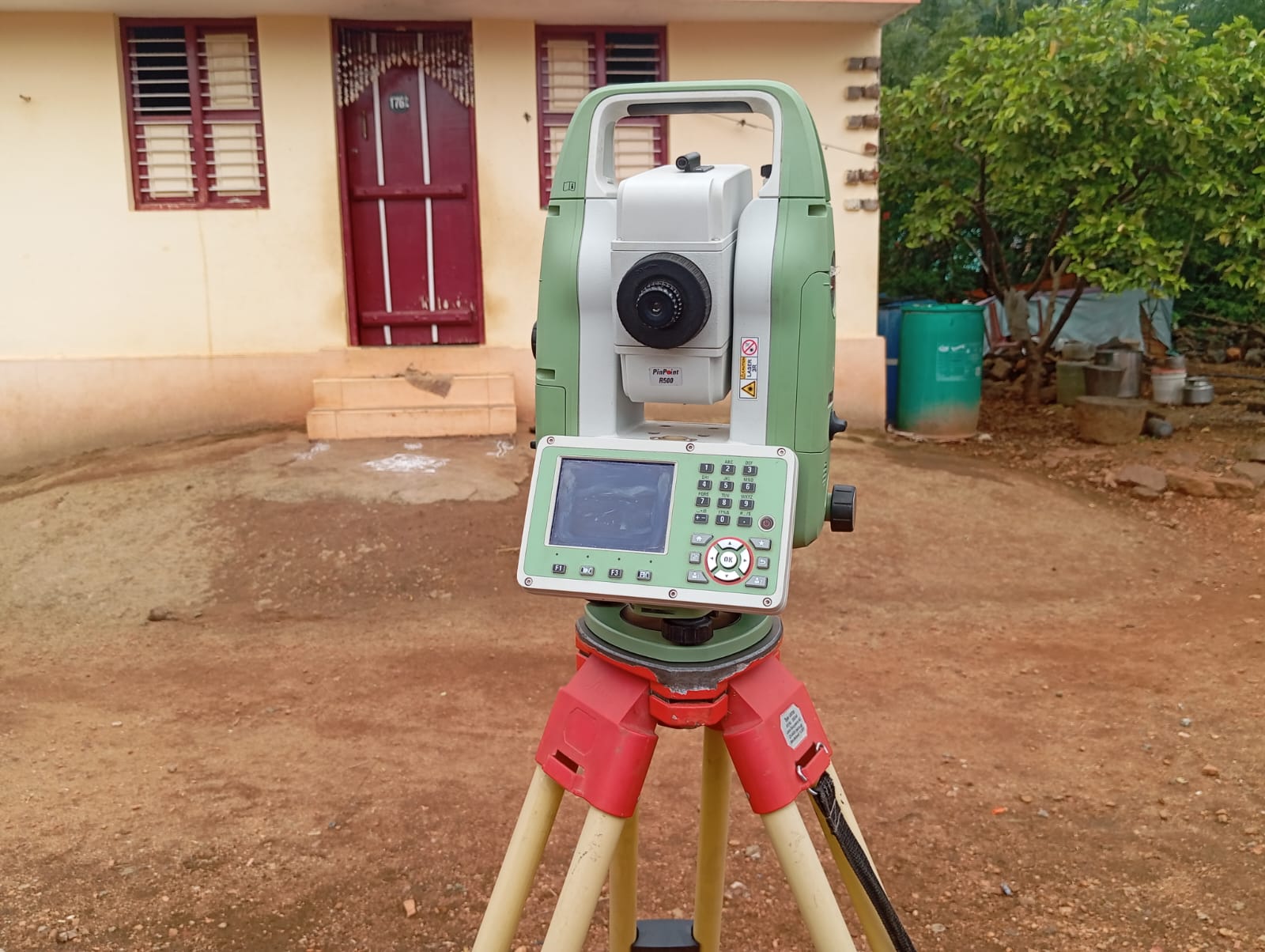
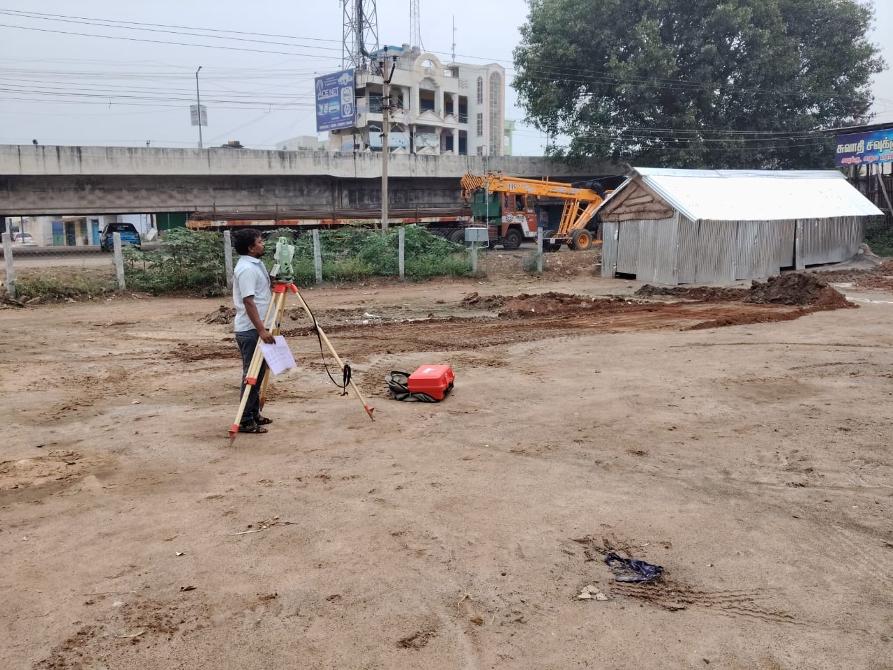
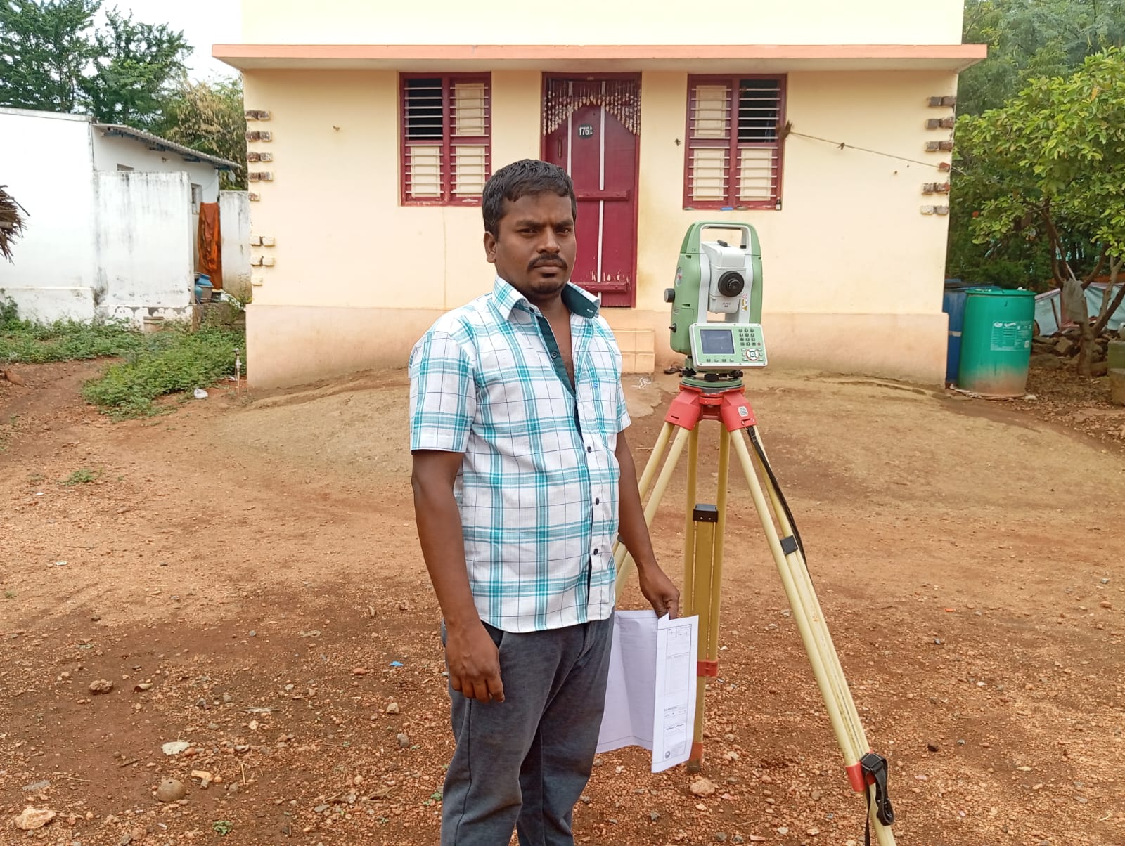
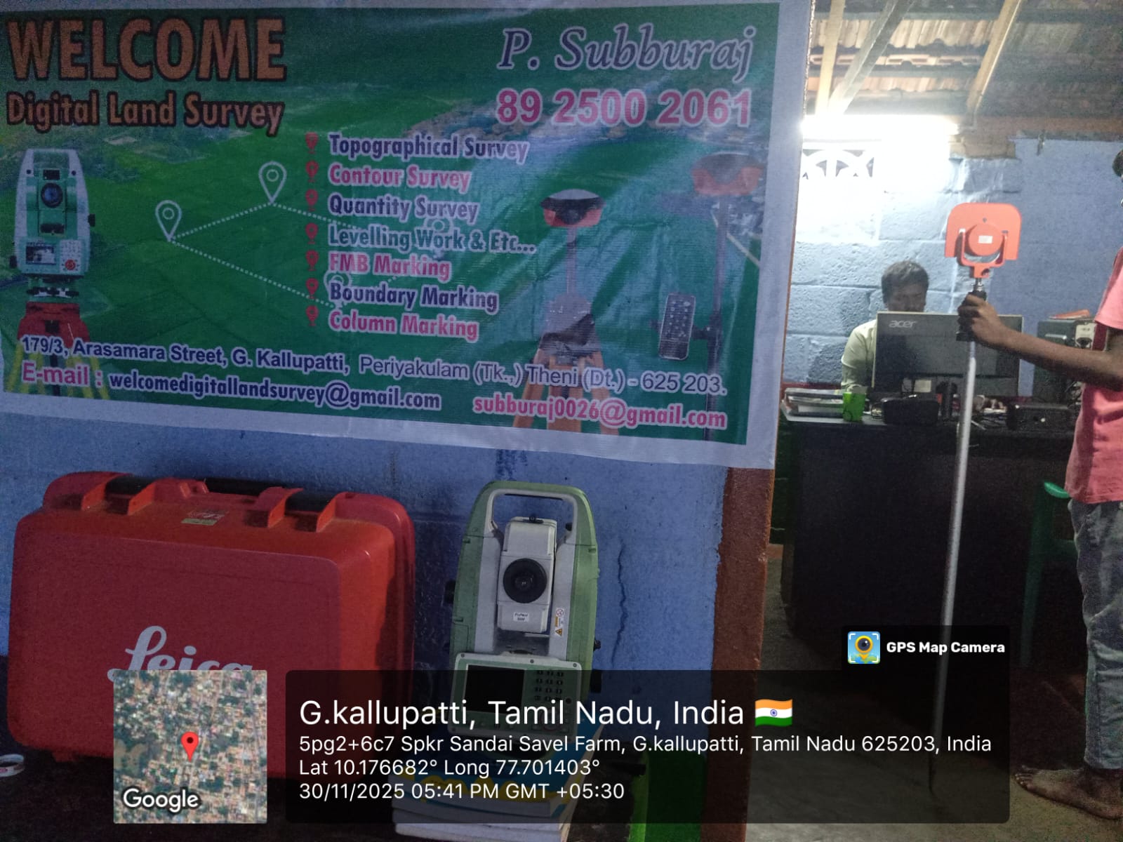
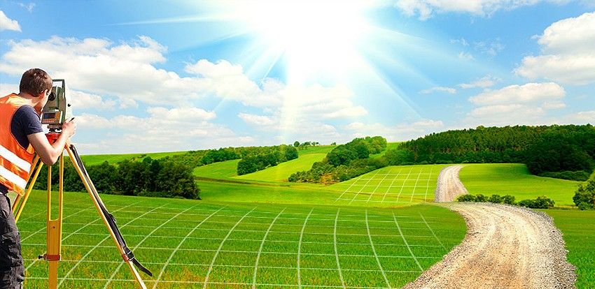
We are a leading provider of precision land surveying services, specializing in topographical, contour, boundary, and quantity surveys. Using the latest technology and tools, we offer accurate, reliable, and efficient surveying solutions to support your construction, development, and land management projects.
Welcome Digital Land Survey delivers precise, reliable, and technology-driven surveying solutions. With advanced digital equipment and experienced professionals, we ensure accurate land measurements, clear documentation, and timely project completion. Our commitment to quality, transparency, and client satisfaction makes us a trusted choice for residential, commercial, and industrial surveying needs.
- Capturing detailed 2D data of land features (natural & man-made).
-Used for planning, design, and analysis.
-Outputs: contour maps, 2D models, and GIS data.
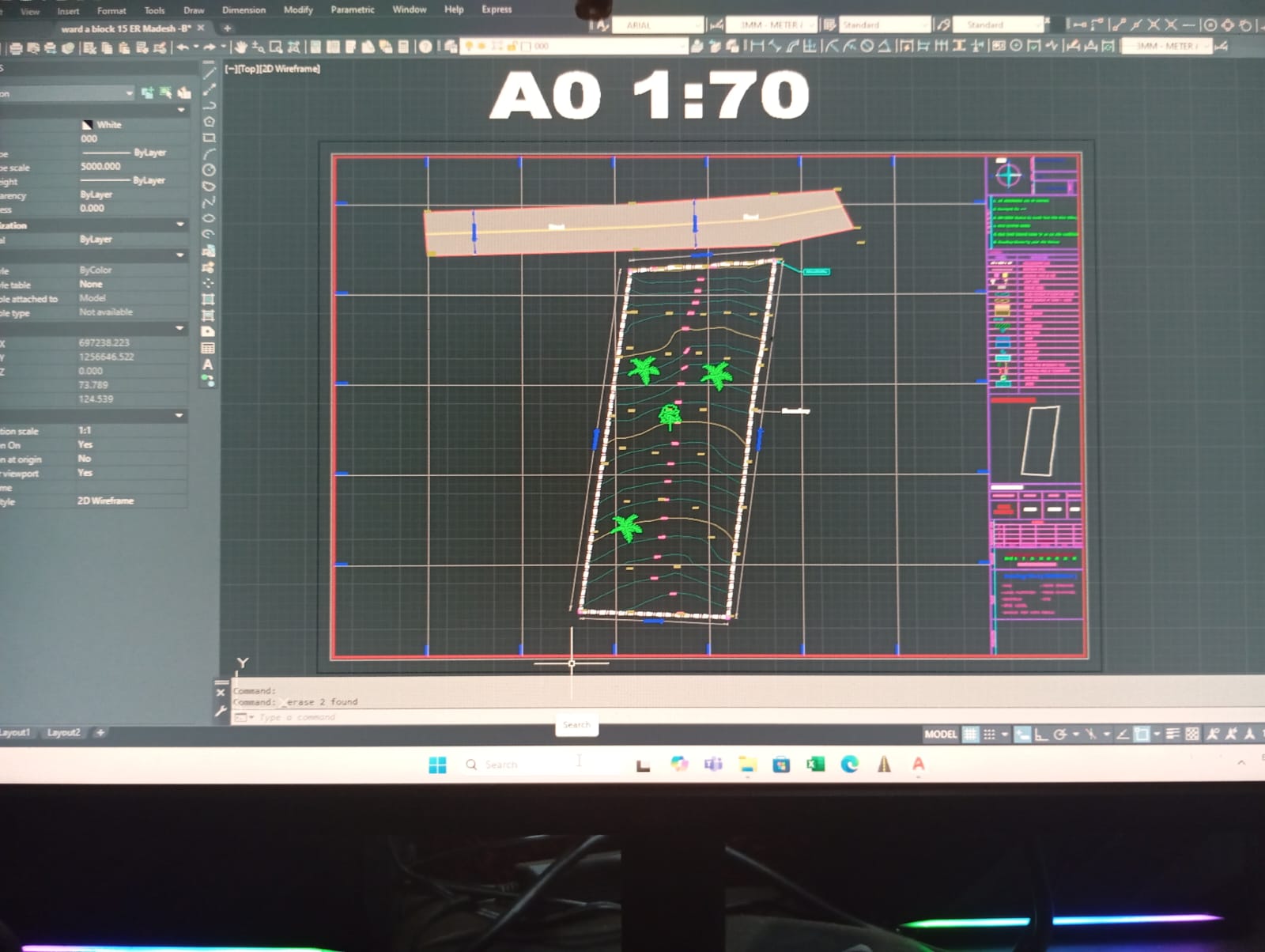
- Mapping elevation changes (contours) of land.
-Helps in understanding terrain, drainage, and planning.
- Key for construction, agriculture, and environmental projects.
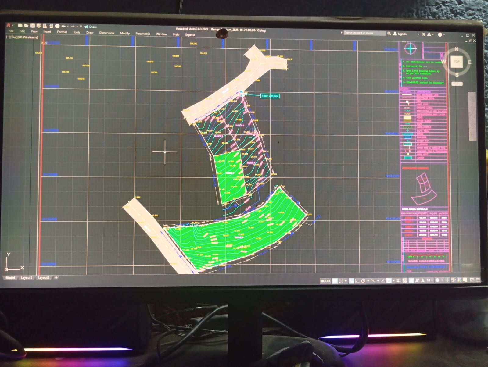
- Dividing land into smaller plots/subdivisions.
-Ensures legal compliance and boundary accuracy.
-Used for development, sales, or inheritance purposes.
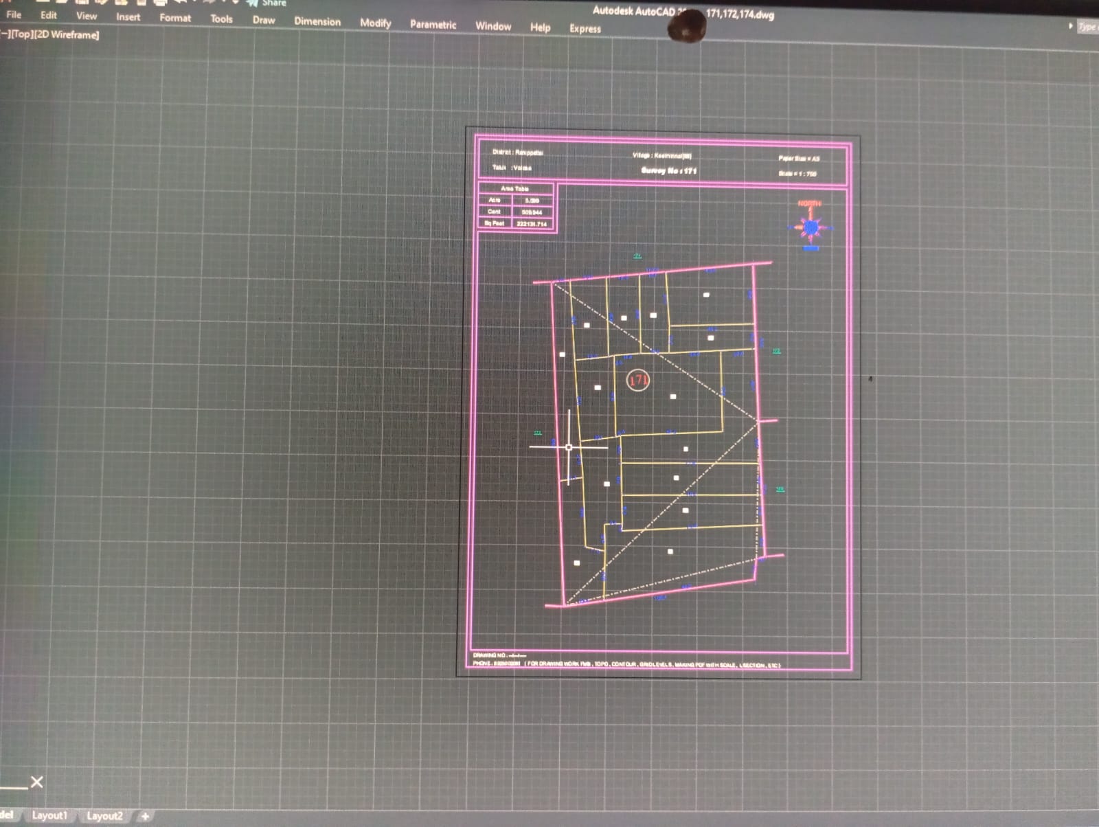
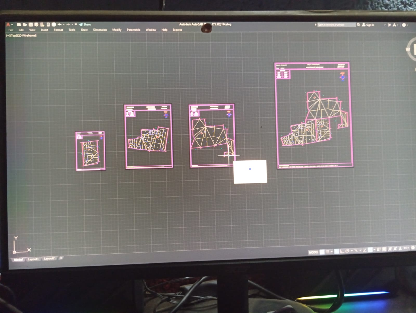
- Creating detailed field maps with boundaries, features, and measurements.
-Essential for legal documentation and land records.
- Often required for property transactions.
- Precise layout marking for construction foundations.
-Ensures structural alignment and stability.
-Critical for buildings, bridges, and infrastructure.
- Marking boundaries, alignments, and reference points for construction.
- Ensures projects follow design plans accurately.
- Used in roads, buildings, and utilities.
- Measuring and estimating materials, costs, and resources.
- Helps in budgeting, tendering, and project management.
- Key for construction project feasibility and profitability.